Historical Documentation
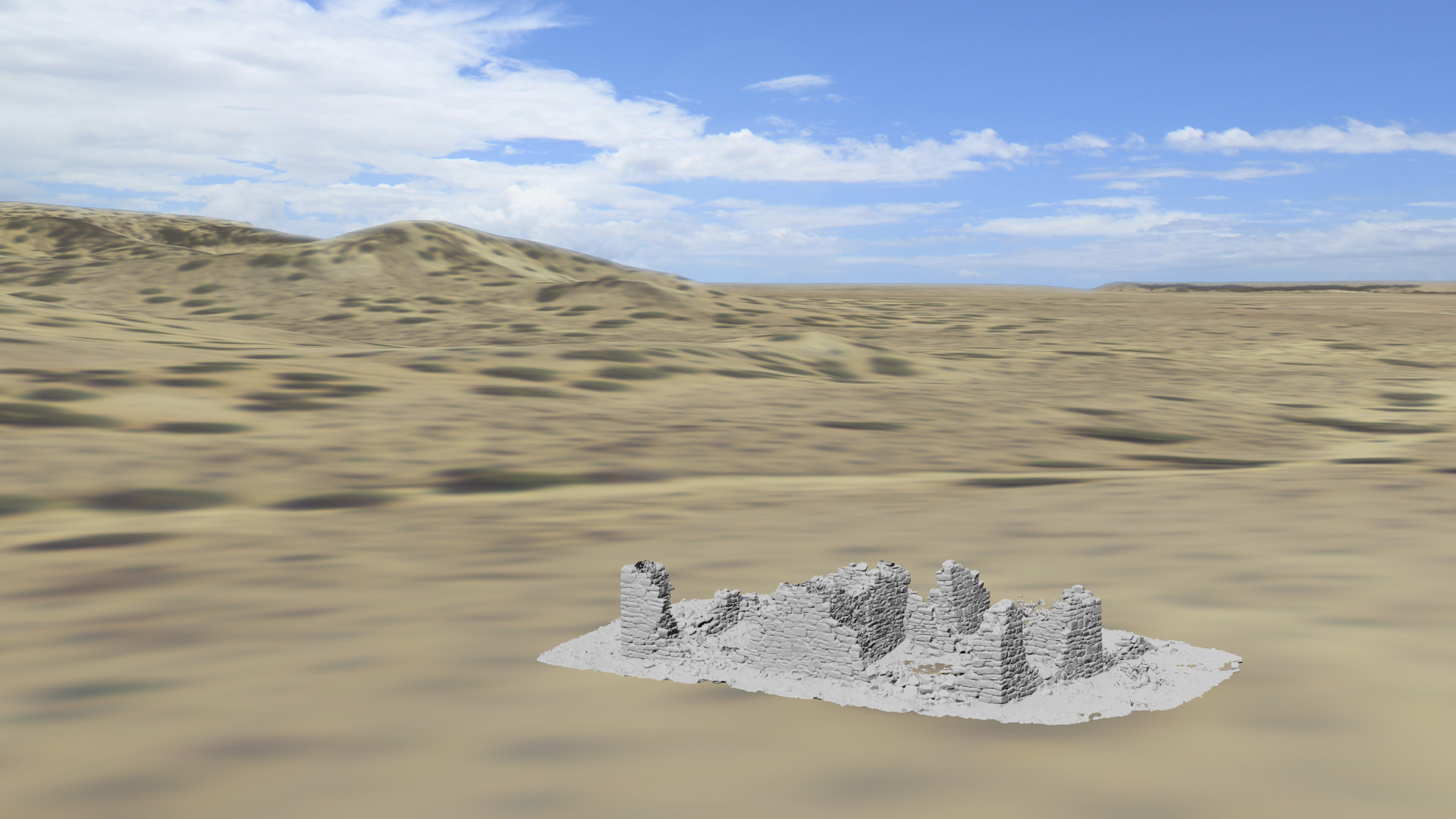
Untextured model of site rendered in landscape derived from existing GIS data.
As a tool for documenting historical and cultural sites laser scanning can increase the rate of data collection and improve its accuracy. Although it will never be a complete solution it is an excellent supplement to existing tools and provides data that would otherwise be impractical to collect. Site maps can be produced in a few hours containing more detail than could be collected over several days using traditional methods. This same data can be used to render scaled orthographic images and as a basis for heads-up digitizing and feature extraction. Typical data accuracies are at the cm level, although greater accuracy can be achieved. Depending on the detail required, sites covering tens of acres can be scanned in a few days. To give one concrete example, the small site shown here was scanned by one person in 3 hours resulting in a point cloud with a median point spacing of 3 mm.
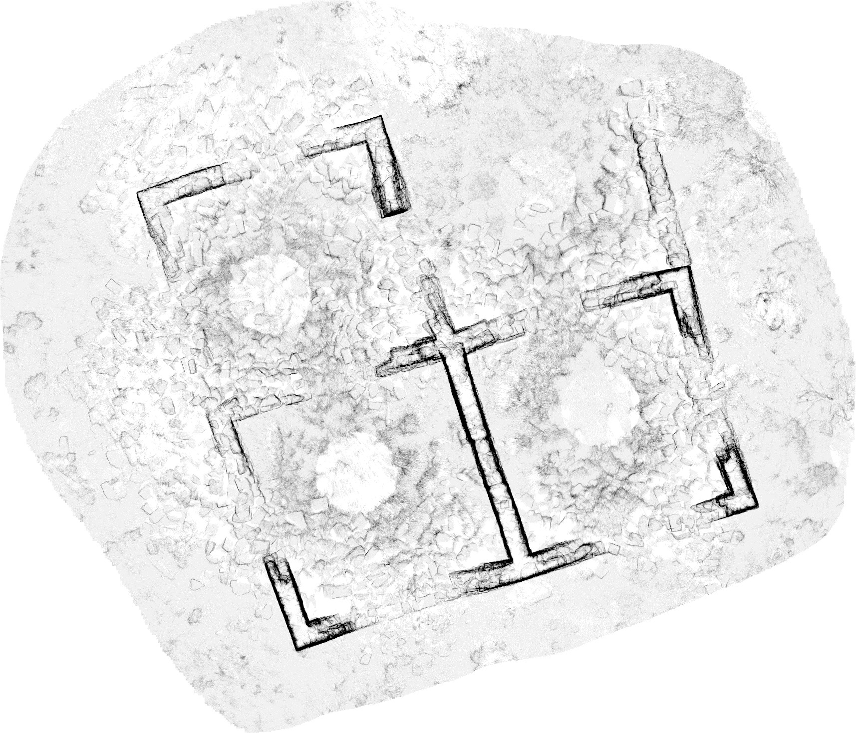 Site map with stone locations automatically derived from point density. |
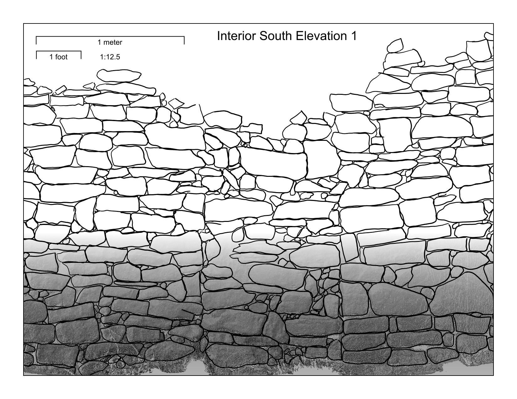 Interior elevation with stonework manually digitized from orthophoto. |
Unlike close-range photogrammetry, which is highly sensitive to ambient lighting conditions, laser scanners use an active energy source, enabling measurements in conditions ranging from complete darkness to full sun. Of course, photography is a key component of many documentation efforts and it is often critical to couple this data with the geometry recorded by the laser scanner. Our workflows allow us to do this by coloring the 3D points measured by the laser scanner using separate images or by projecting the images on to polygonal models generated from the raw data. Although more labor intensive, photo-textured polygonal models are usually more desirable as they enable the use of higher quality photos with resolutions that exceed that of the point cloud and eliminate the pixelation and artifacts visible in the point cloud shown below.
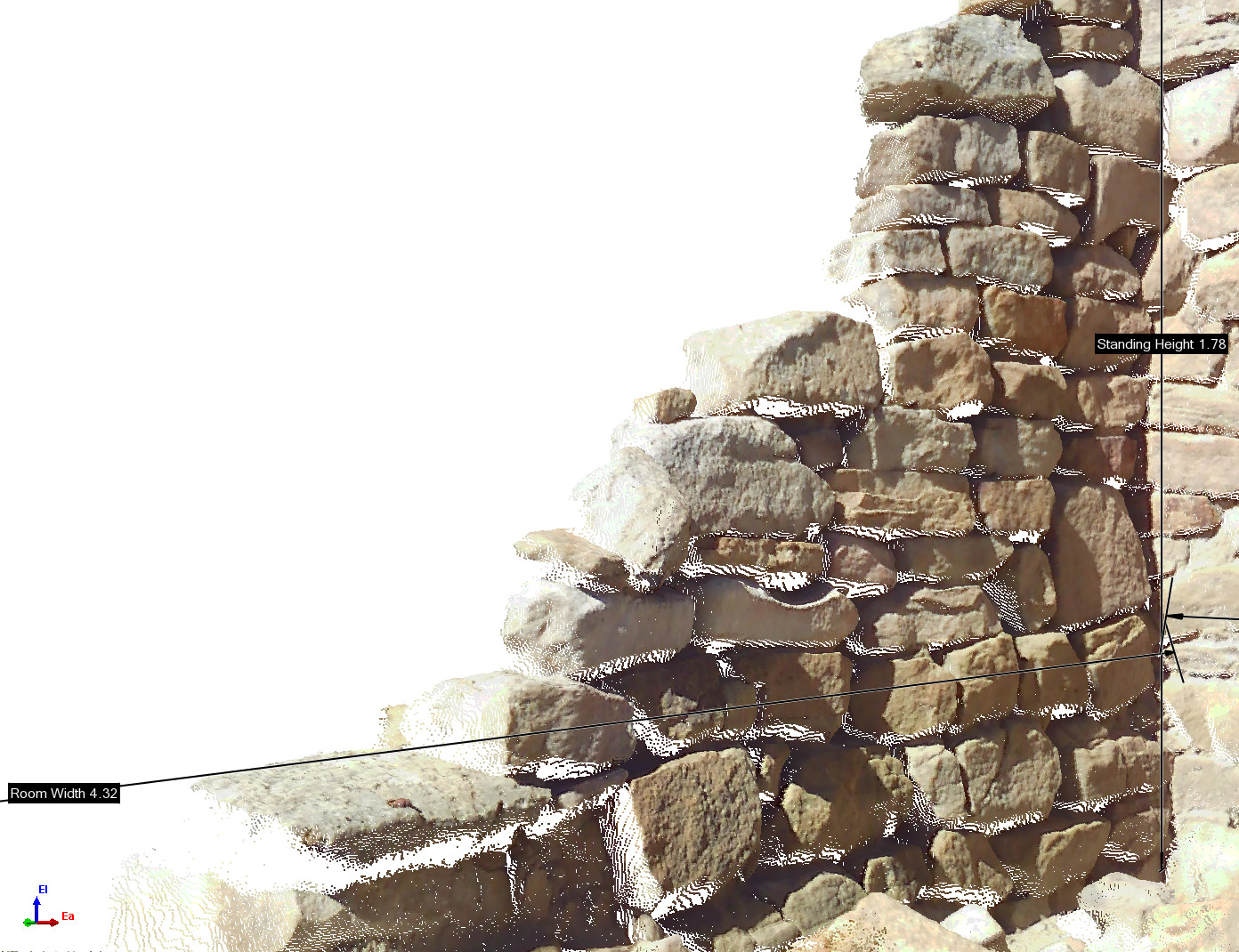
3D measurements taken directly from a colored point cloud.
Laser scanning data are well suited for integration with other digital assets ranging from aerial photographs to artifact point surveys. These data can be quantitatively analyzed in GIS applications and used to produce accurate and visually appealing visualizations or interactive displays. Lidar Guys specializes in developing custom solutions and we will work with you to achieve any goals you can imagine.